
Contact Judy
Category Archives: Stravaig walk
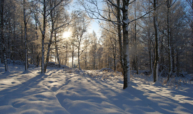
Stravaig – Finzean
Contact Eilidh
Photo (c) Paul Chapman
Stravaig – Milton of Turtle – Fri 15th Jan
Contact Fiona Lyall
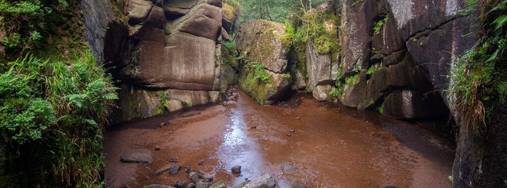
Burn o’Vat Circuit – 16th Oct
An easy and sociable Stravaig walk. Contact: Eilidh
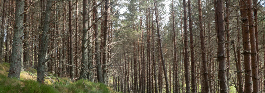
Keithhall Circuit
A easy social stravaig walk. Arrival by car sharing.
Contact Eilidh
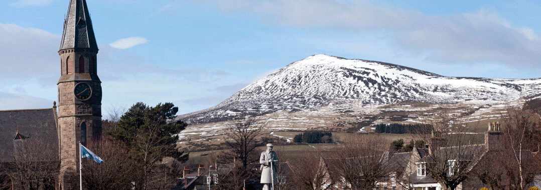
Rhynie
Meeting time in Rhynie: 10.30 am
Walk Start time from Rhynie: 10:45 am
Estimated finish time: 3.00pm or earlier
Car sharing from the Kingswell Park and Ride
Google suggests about 50 minutes plus to Rhynie via Inverurie, Insch and Kennethmont. One can also drive via Alford and Lumsden (longer). Suggest leaving the Kingswells Park and Ride: lower car park by 9.30.
Difficulty: Leisurely
Distance: 6 miles / 10km
Ascent: hardly noticeable, less than 200m
Parking in Rhynie – Turn into the Square in Rhynie off the A97, onto the A941 and park on this road in the public car park near the Church, or where you can. Grid reference: NJ 498 272, Nearest postcode: AB54 4EG, what3words: reframe.joyously.camera.
OS Maps – Landranger 37 – Strathdon & Alford, Explorer 420 (OL62) Correen Hills (East Sheet). Please bring your paper OS map or have an OS map on your phone for the drive and the walk.
Overview A leisurely low level countryside walk at a slowish pace to suit the group. The route starts by heading south from Rhynie, across the Water of Bogie, then turning east via Barflat and Druminor Castle. We then have to walk single file on the public road half a mile or so, turning off north, walking past several farms (Boghead and Bogend). The route continues via Castlehill, returning to the Clatt road to very soon reach Rhynie again, either directly along the road from Clatt, or looping south, on tracks.
Type: Circular walk along mostly good tracks and roads through undulating farm countryside. This is not a hilly walk.
Booking Booking is useful. Please contact the walk organiser either by emailing or texting Jay Turner on jayturner1985@outlook.com 07933 651 681 to book your place on the walk. Please say where you will be coming from and give me your mobile number.
Additional Details
Walking boots are advised as are waterproof jacket and overtrousers. Walking poles and gaiters are optional. Bring a pack lunch/hill food and a flask for hot/cold drinks. There will be two stops, one for coffee, one for lunch.
Toilets – In Rhynie, there is just one public toilet cubicle for women, plus facilities for men in the small building more or less opposite the Corner Shop. If coming via Alford, there are also public toilets there in the large car park, or in Lumsden, near the Village Hall. (Use the loos on arrival or we will be queuing!)
Tea after the walk There is no café in Rhynie, but the Corner Shop does takeaway tea, coffee and other drinks, plus a good choice of cakes. There are benches in the village square around the war memorial (famous sculptor).
Contact: Jay
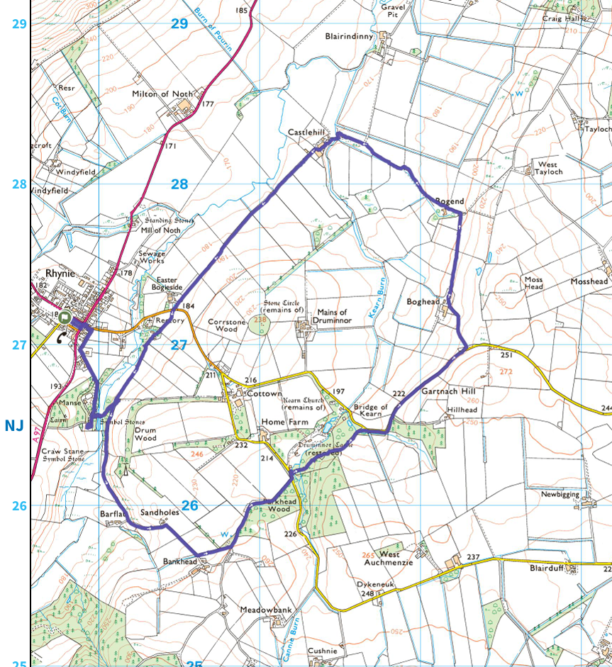
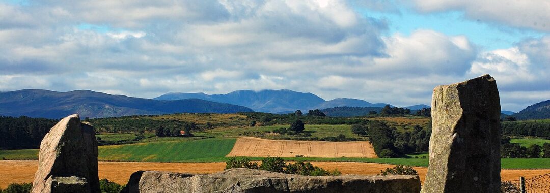
Image by Stu Smith
Tarland – 17th July
Friday 17th July
Contact Fiona
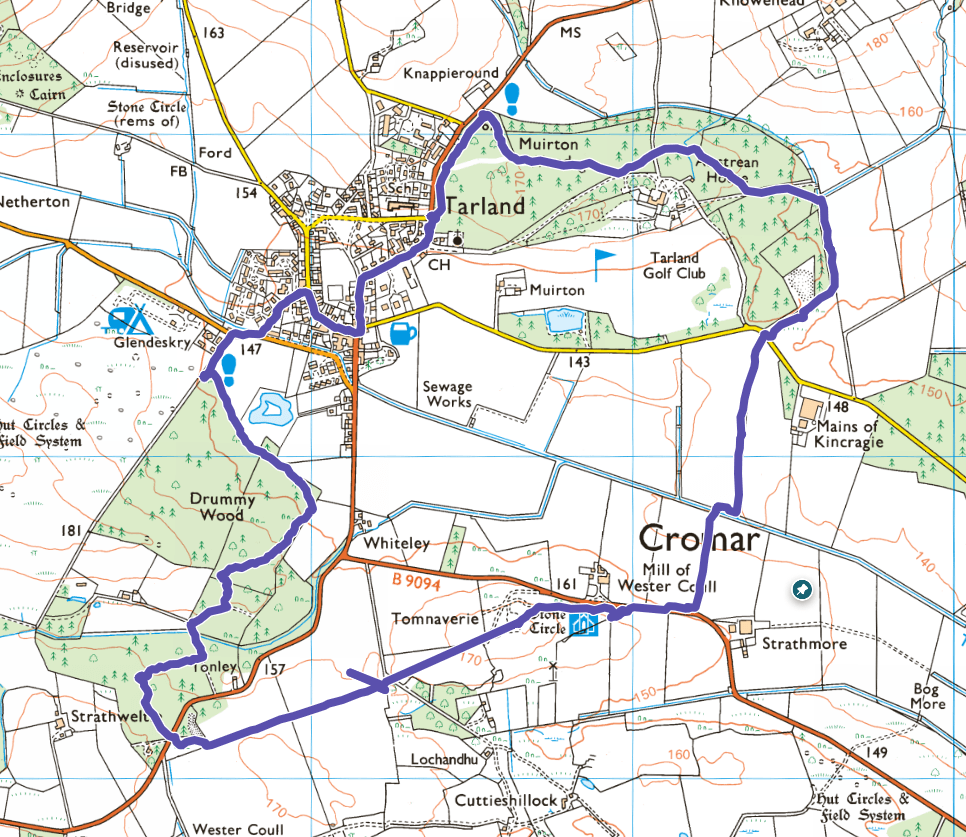
The route is a clockwise walk starting from the Muirton wood car park, (the first car park as you come into Tarland from Westhill road, B9119) I propose a start of 11 am or for those who want to meet at Kingswells P&R 10:15 am. I will be staying in Tarland so I will not be at the P&R.
The walk is about 5.5 miles long and fairly flat. See map below.
Bullers of Buchan – June 12
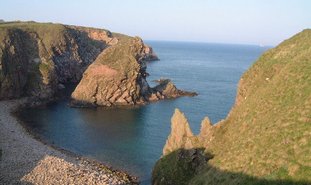
An easy and sociable Stravaig walk to these spectacular cliffs.
| Date and Meeting Time | Friday 12 June 2026 either10 am at Kingswells Park and Ride for lift sharing, or 11 am (own transport) at Cruden Bay Car Park, 38 Main St, Cruden Bay, AB42 0NA |
| Walk Leader and Contact Details | Henry Webb webb.henryj@gmail.com or 07447-841651 |
| Walk Description | A moderate walk on a good track to Slains Castle and then along the narrower clifftop path to the Bullers of Buchan with steep drops to one side. Return the same way. |
| Walk Grade | Moderate. Distance 6 miles. Mostly flat. Time about 3½ hours. Shorter options available, 3 miles returning by hourly X63 bus. Bring binoculars in case we see a puffin. |
| Pre-Walk Contact | If you are planning to come, please let Henry know with your mobile number preferably by Monday 8 June. I will then be at Muir with potential radio silence and unable to respond. |
| Refreshments | Lunch stop at Bullers of Buchan. Post-walk refreshments at Harbour Dunes Café, Cruden Bay. |
| Toilets | At Cruden Bay Car Park |
Photo: Lynette and Malcolm Johnson

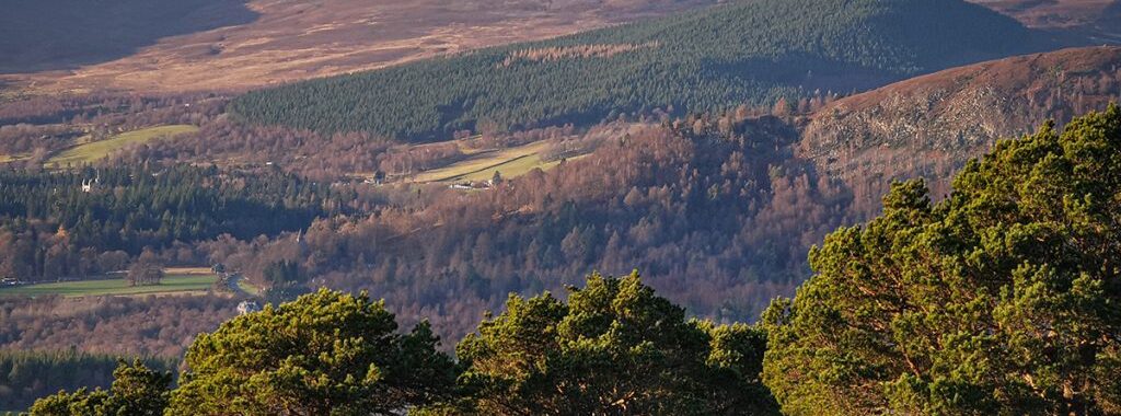
Aboyne / Ballater – May 15
A moderate walk, mostly on good tracks and paths through Bell Wood to Belwade Farm and back along the Old Deeside Road. Distance 6¼ miles. Ascent about 130 metres, never particularly steep. Time about 3½ hours Shorter options available, approx. 4½ miles. Some sections can be wet, so waterproof boots recommended. Route map: www.walkhighlands.co.uk/maps/map3_27ab.shtml
Refreshments: Lunch stop at Belwade Farm (café closed). Post-walk refreshments at an Aboyne café, eg The Black Faced Sheep.
Meeting: 10 am at Kingswells Park and Ride or 11 am at Station Square, Aboyne AB34 5HX
Contact Henry Webb: webb.henryj@gmail.com Please note I may be out of contact between the 11th until the morning of 15th, so please contact before the 11th if possible.
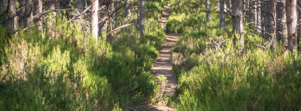
Cambus o’May to Tullich – April 17
A Stravaig (easy) walk. Contact: gill@shirreffs.net or 07778 739414
| Date and Meeting Time | Friday 17 April 2026 at 10 am at Kingswells Park and Ride or 11 am at Cambus O’May car park |
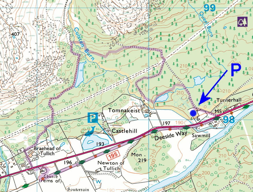
| Meeting Place | Cambus o’May Forest Trails Car Park. Approx. 3½ miles west of Dinnet, on the A93, on the right towards the end of the long straight through Cambus o’May, with a sign “Forest Trails” about 300 yards before the access and a bus shelter at the entrance and Opposite the Cheesery. Grid ref NO406981. The walk starts at the information board at the top of the car park, but if spaces are available, it is better to park at the lower unofficial car park, closer to the road, as it is free and saves a short walk uphill at the end. The forestry car park fee is £3, payable using the RingGo App. No toilets available. |
| Walk Description | An easy very pleasant walk, mostly on good tracks and paths through conifer and birch woods, passing two lochans, an ancient ruined church, and pictish stones. Returning along the Deeside Way with an optional brief detour up to the Needle Monument. |
| Walk Grade | Easy. Distance 4 – 4.5 miles. Ascent about 250 feet, never particularly steep. Time about 2½ to 3 hours. |
| Pre-Walk Contact | If you are planning to join this Stravaig, please let Gill Shirreffs know in advance. Unless we already have your mobile number, please let Gill have it beforehand so that we can get in touch if you are not there at the start time. |
| Refreshments | Coffee break at the high point, about 1½ miles into the walk. Lunch stop at the Tullich Churchyard. Post-walk refreshments either at Cambus o’May Cheese Shop, which has toilets, or else at Loch Kinord Hotel, Dinnet. |
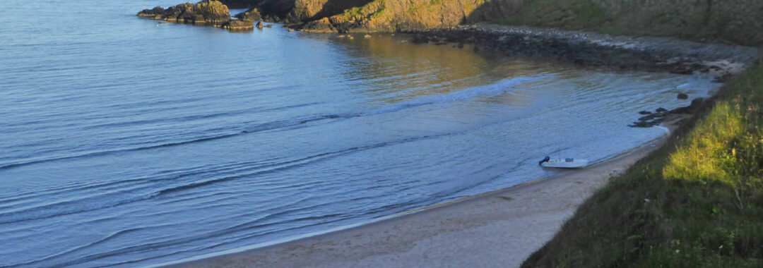
Sands of Forvie
A straightforward walk of up to 12 kms (distance can be easily shortened) on good paths. From the Forvie Centre, across the undulating dunes to join coastal path to Hackley Bay and on to Forvie Church. Short steep ascent and descent on steps at Hackley Bay.
Refreshments after at Trellis cafe, Newburgh
Contact: Bill Reith 07710 318485 bill.reith@btinternet.com
Meeting place: Car Park at Forvie Centre, Forvie NNR, Collieston
(GR 033289)Cashless parking charge of £4 using Ringo app
Ready to walk at 10.00am
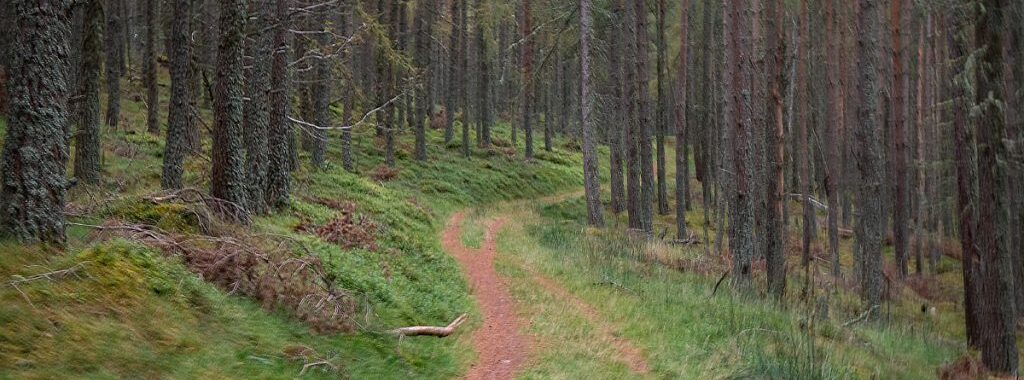
Potarch and Craigmore Woods – 12th December 2025
A social Stravaig walk – Potarch and Craigmore Woods (contact Jay Turner)
An easy woodland walk which rises round the hill top and contours of Craigmore Wood, then round and back down to Potarch. Distance about 5km.
Lunch Potarch Inn lunch is booked for 1.30 at Potarch Inn. This will take the form of soup and Sandwiches (a variety of fillings available) , there are also home bakes available for those wanting a sweet treat too.
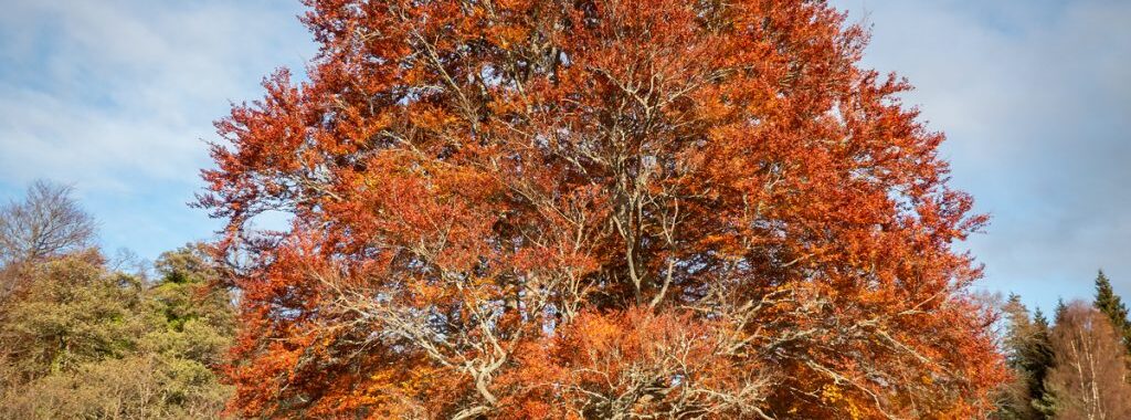
Glen Tanar social walk – Thursday 13th November
A Stravaig walk of easy ability in Glen Tanar. Transport will be by car, with opportunities to car share for those without.