 |
|
|
|
|
|
|
|
|
|
|
|
|
|
|
|
|
|
|
|
|
|
|
|
|
 |
Last updated: 12/10/14 |
Ben Vrackie
|
|
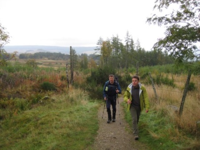
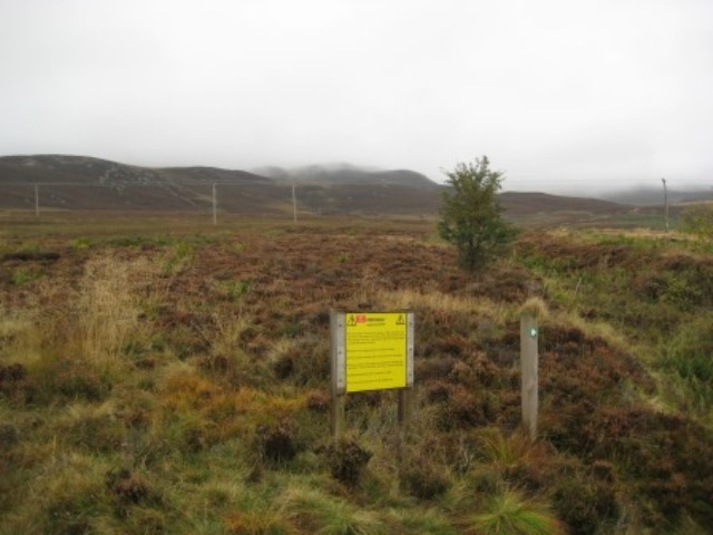
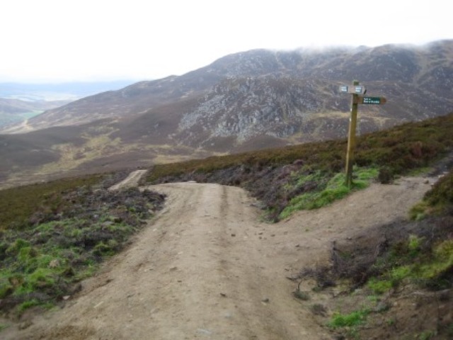
Due to a couple of pull-outs, only 6 of us barrelled down the A90 to Pitlochry in the minibus, arriving at the Moulin car park around 09:15. On the way down, the weather had been fine, with little wind, but the Clova hills very cloudy: all wrong according the forecast, which proved pretty rubbish all day. We set off up the well-signposted track to Ben Vrackie, past warning notices and a few other folk, including a navigation group standing in the heather.
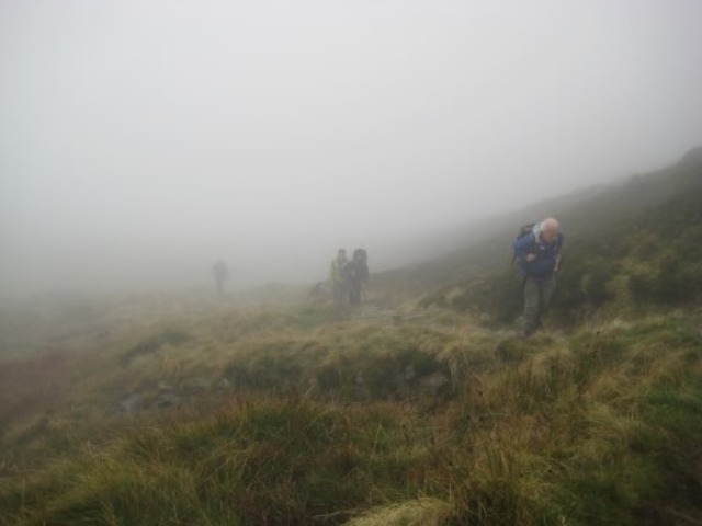
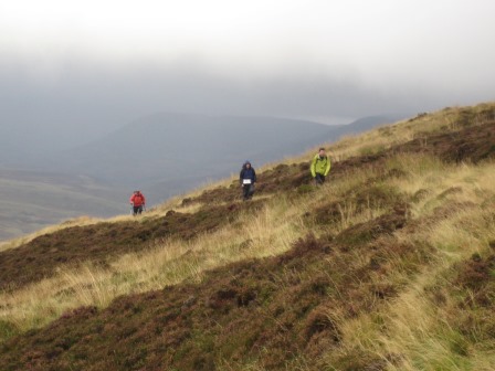
Into the cloud above the reservoir,
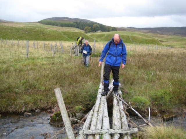
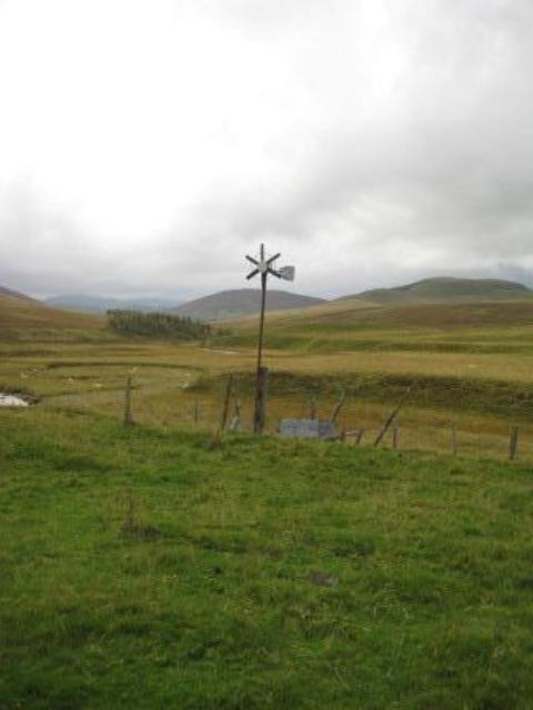
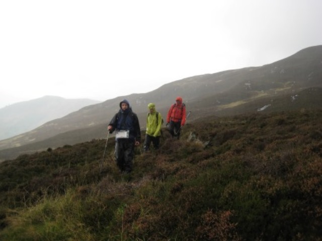
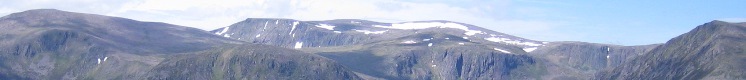
and a typical dreich summit in dense cloud, drizzle and a stiff breeze, being cheered up only by memorials to a local councillor and to a dragoon killed in 1947 (in Palestine?) and a group of ash-dispersers wanting a photograph taken. After a bracing cup of coffee, Peter disappeared to destinations unclear, while the rest of us reversed the first 100m of the path (thus missing a large cairn reported later by Peter), and then continued NE over what looked on the map (and turned out to be) a long series of knobbly knolls confusing to follow. Luckily, there were traces of path through the grass, and we had Garry bringing up the rear with his nose pressed to his navigation screen, and muttering about a “wall” which was bound to appear “soon”. Odd noises off, as the local stags made their feelings plain. The “wall” turned out to be the occasional fence post, but at least led us to the slopes above the broad saddle of Lon Mor (unmarked on the 1:50,000 map) NE of Creag Spardain, where we emerged under the cloud and had a pleasant and sheltered lunch looking out over the hills south of Ben Vuirich, still in cloud.
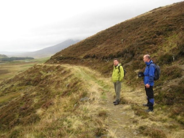
Though Ben Vuirich might have been possible in the time, we decided to take advantage of an unmarked track (newish in parts but old in others) running SE-NW over the Lon Mor,
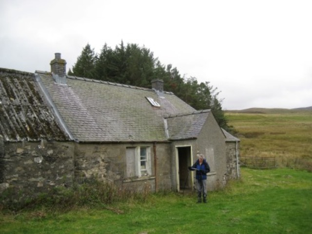
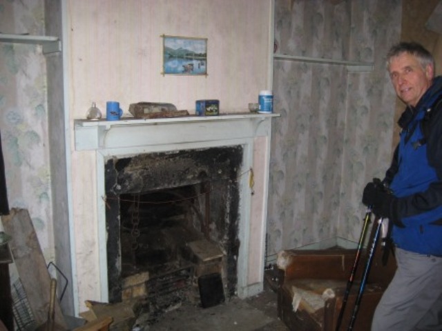
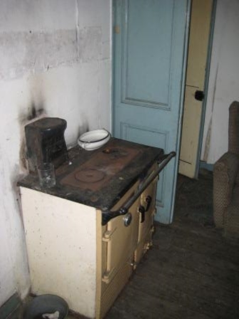
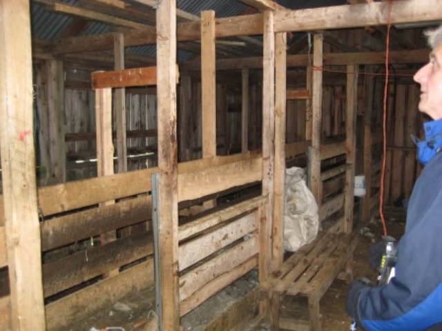
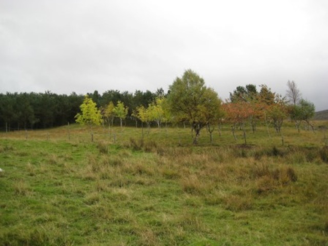
and followed it to Shinagag, a semi-abandoned cottage (once with gas, bath, etc.) now in occasional use for sheep shearing. Carn Liath of Beinn a’Ghlo loomed ahead, though partly in cloud.
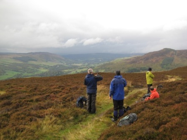
From here, our route back went down Glen Girnaig, crossing lots of somewhat tussocky grass guarded by deer fencing (once electrified: see old turbine), both before and after the track south of the ruin Reinakyllich. Trees, and views west and south, relieved monotony.
We were nearly enticed by the track up the Allt a’ Mhagain into climbing Ben Vrackie for a second time, but persevered south over (and up!) yet more grass until we met the track above the ruin (one of many hereabouts) of Coppagach. On the map, this path (a track on the 1:25000 map) looks good in contouring round Meall an Daimh to the Bealach Path back to the car park, but it turned out to be an old grouse-shooting route largely sunk into the heather, and clearly not in daily use.
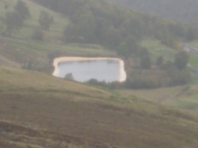
Below, an ugly reservoir – and traffic noise - spoiled the view down to the A9.
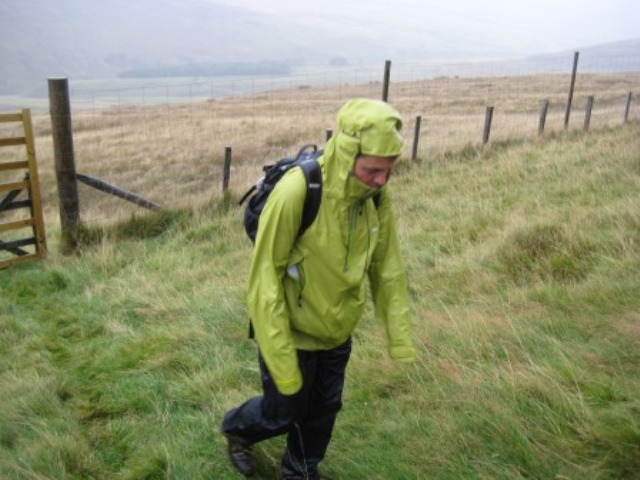
Doing this section in intermittent rain was not the highlight of the day, but we eventually reached the Bealach Path around 16:00, when it cleared up a bit (though Ben V. never showed its head), and justified a final coffee stop.
Then up over the Bealach, newly re-engineered in places,
and down to the car park and pub, where Peter had been ensconced “for some time”, having done the Mealls west of Ben Vrackie. Out by 18:00, and home shortly after 20:00, after a day rather longer than planned but satisfying all the same.
|
|
Authors - Ken Thomson Photos - Ken Thomson |